
Predicting Weather Patterns
Q&A with Professor Thomas Kovacs
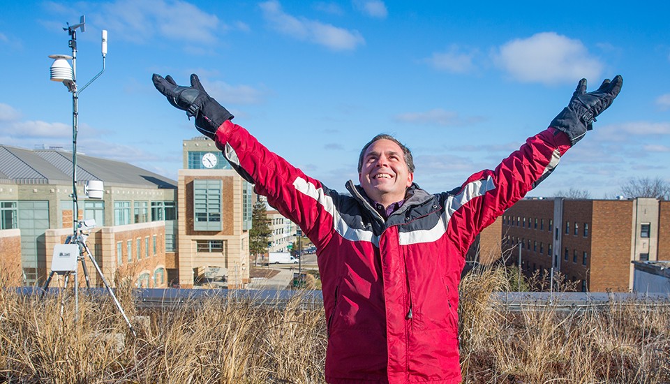
Thomas Kovacs is a professor of meteorology in the Department of Geography and Geology and coordinator for the Environmental Science and Society, Interdisciplinary Program (ENVI) at Eastern Michigan University.
Professor Kovacs teaches classes in weather and forecasting for general education students and earth science, earth science education, and integrated science for elementary education majors.
He took time out to discuss his work at EMU and Michigan’s variable weather with Eastern Magazine.
Question: It’s popular to complain about weather forecasting, but the truth is it’s never been more accurate. What weather forecasting tools exist today that help more than in the past?
Answer: Our mathematical approximation models, processing speed, and observational data have all made continuous improvements. Examples of recent improvements in observational data include the availability of new polarimetric Doppler radars, new geostationary satellite imagers, and the Global Precipitation Measurement satellite, all of which provide new observations and higher resolution.
Q: How does weather mapping work?
A: Data for weather maps mostly come from land-based weather stations, weather balloons, commercial aircraft, satellites, maritime vessels, and buoys.
Typical data collected on these observational platforms include temperature, pressure, wind speed and direction, humidity, and precipitation. For surface maps, data from surface platforms are plotted on a map with lines of equal values. Commonly these lines are drawn at regular intervals represented by different colors on public weather maps.
Publically available maps show locations of the highest (large H) and lowest (large L) pressure center, fronts, and temperatures. Pressure is important because it determines the movement of air (i.e. wind) and the locations of the H’s typically associate with fair weather, whereas the L’s and fronts typically associate with stormy and changeable weather.
Q: Why is it still difficult in some cases to predict the weather?
A: The most difficult weather to predict is probably snowfall accumulation. Snowfall is difficult because you need to know both the total amount of water and the water content of the snow. The water content of the snow depends upon the temperature from the cloud all the way down to the ground, which determines a ratio of water content to snow accumulation that typically varies from 1:2 to 1:100.
Low ratios (1:2) occur at temperatures near and possibly above the freezing point and produce slushy snow, whereas high ratios produce fluffy snow (which skiers love). Both the water content and this ratio can vary over small distances so snow forecasts can be off by a foot because the forecast was off by a couple of miles in the track of a storm or fractions of a degree in temperatures.
Q: What accounts for Michigan’s highly variable winter weather?
A: The type of weather that a location receives depends on effects at many different scales. At the global scale, the jet stream moves weather systems causing our changeable weather, but small-scale effects such as the influence of a nearby body of water or a mountain can sometimes overwhelm these larger-scale effects.
During winter, jet streams tend to be stronger because the difference in temperature between the poles and equator are the greatest. These jet streams transport air masses of these widely differing temperatures north and south in a wavy pattern that encircles the Earth. Locations such as Michigan are also influenced by bodies of water that play a major role in variations in precipitation, especially in winter (e.g. lake-effect snow). However, the most variable weather is in mountainous areas.
Q: What current research are you involved in?
A: My current research interest is in how weather and climate is taught to students and the general public. I teach ESSC 101, Introduction to Weather and Forecasting, which satisfies a general education requirement in knowledge of the natural sciences.
The outline of the entire course is an explicit application of the scientific method, but I find that most weather textbooks do not follow this structure and typically have forecasting and severe weather sections that are inadequate for my course.
Consequently, I am working with a publisher to write my own textbook for a nationwide audience. I intend to include climate and climate forecasting in the textbook because of my interest in communicating climate change to the general public.
Q: How does having the weather station on campus benefit students and staff?
A: Besides the typical weather observations, the campus weather station includes lightning detection and a high-definition camera. A single weather station does not provide much predictive capability, because prediction is based upon what is coming and not what is already present. The benefit to staff and students is largely in communicating what is present on campus. The station is part of the WeatherBug network of weather stations, and observations can be obtained using the WeatherBug app or at the website, weatherbug.com and searching for the EMU station.
Q: What are the prospects for a career in meteorology for EMU students?
A: Careers in meteorology require upper-level weather courses that are not currently available at EMU. However, the ENVI program provides a concentration in atmosphere and climate that, with advising, prepares students for graduate school in the atmospheric sciences. Students can also obtain jobs as environmental technicians specializing in air quality monitoring, climate change preparedness and climate resilience, and solar and wind power.
Contact Darcy Gifford, dgiffor2@emich.edu , 734.487.5375
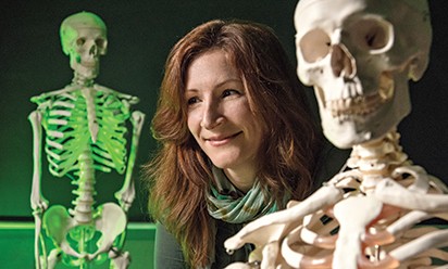 Eastern anthropology expert Megan Moore puts historical questions to rest
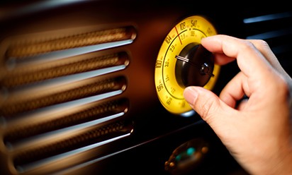 EMU alumnus Art Vuolo’s collection of recordings featured in Radio Hall of Fame
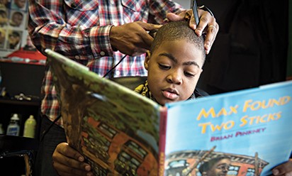 Master Barber Ryan Griffin gives discount to kids who read books during appointments